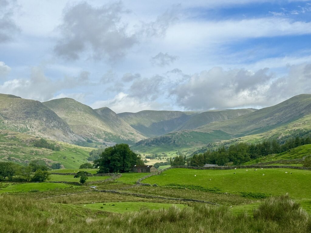
If your idea of a great time in the Lake District is something remote and challenging, then the Kentmere Horseshoe is the perfect trail for you. With 9 different peaks (if you take the detour to High Street), it is a great way to tick a few Wainwrights off the list and build your stamina as you slog along for several hours. With commanding views of southern fells, it’s definitely well worth the visit if you are comfortable being in the middle of nowhere!
Kentmere itself is a tiny hamlet strung along a small hill. There are no facilities here, and a mere 6 car park spaces in total, plus a field that is open in the summer. When I arrived at 8am on a sunny Sunday morning, the village spaces were already taken (I was annoyed with myself for not getting up even earlier) so come as early as you possibly can in order to beat the crowds. Again, it’s worth having the OS Maps app as whilst there is signal on some of the higher fells, as a whole Kentmere is a bit of a connection black spot.
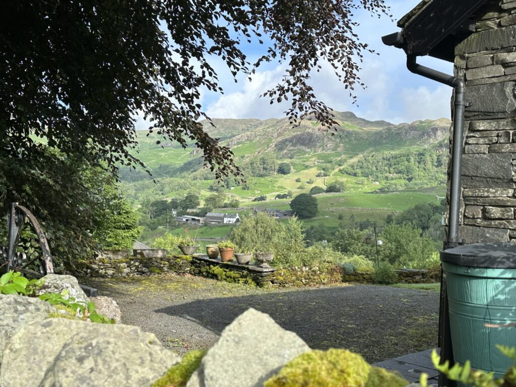
Clockwise is always best so I decided to set off going up Green Quarter Fell, through some very picturesque cottage gardens, and plenty of foxgloves in bloom alongside the drystone walls. The weather was meant to be stormy so naturally it was fantastic with clear blue skies and plenty of sunshine. The ascent here is about 150m in total, and runs parallel to the beck below. After a gate the path turns toward the north, and to Goat Scar begins via Shipman Knotts. In total the climb is another 280m or so, and is fairly clearly marked between the rocks and boulders strewn around. There’s a bit of minor scrambling but nothing too taxing, although I imagine it’s slightly more difficult in poorer weather, and the fell summits can become quite boggy underfoot.
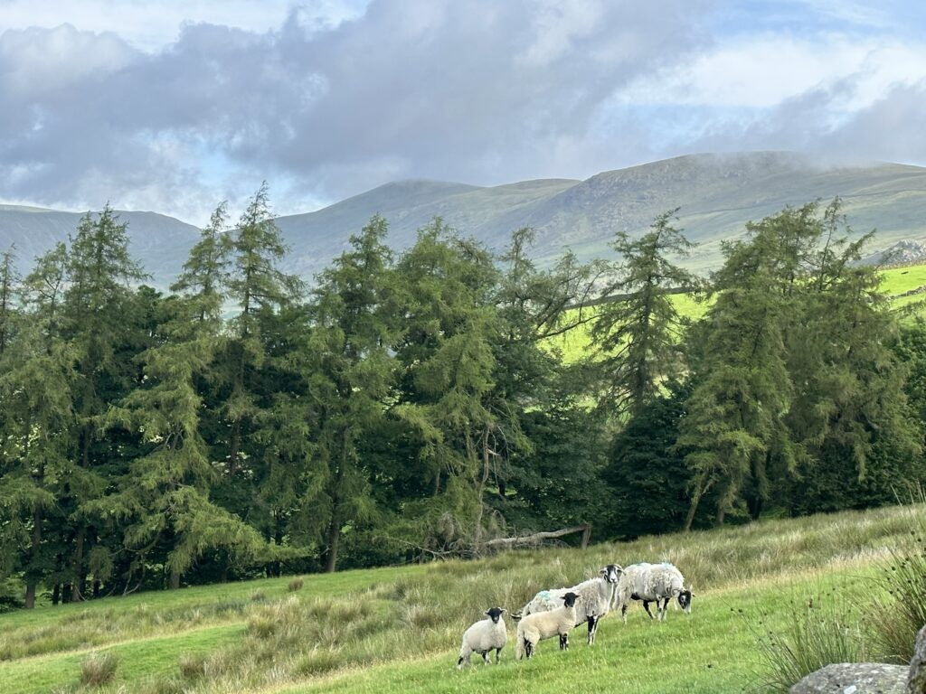
As I went over the top of Shipman Knotts, my path was blocked by a surprise guest: a rather large black pony. Sadly it didn’t want to make friends, and rather nervously skirted around me. Suddenly out of nowhere, another 4 appeared in front and barrelled straight past me, kicking and jumping as they played with each other. It was surreal to see horses up here when you’re so used to sheep, and even more so to have them run past so closely! I was caught completely by surprise so sadly didn’t have chance to film them up close, but below is a quick video as the last one ran past and down the other side of the fell.
Kentmere Pike itself was next up and only a short distance away. The landscape here is very typical of the Lakes, with nothing but grass with the odd bit of shrubbery every now and then. Personally I really hate it, and wish there were a lot more trees, as the landscape as it is now is rather ecologically dead, but I’ll save my passionate albeit odd rants about re-wilding for some poor sod in a pub.
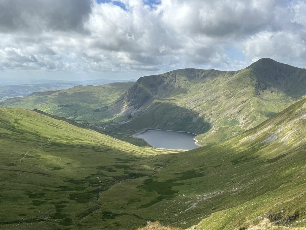
The next peak on the journey is Harter Fell, and it’s where the landscape changes dramatically. To the north in the valley below sits Small Water, one of two tarns that drain into Haweswater, which is famous for its sunken village. Last summer I went swimming in Small Water with some of my mates, and would definitely recommend a dip especially in the middle of a heatwave! Rising sharply above it is the next summit on the route, Mardale III Bell. The way there is known as Nan Bield Pass, which is an extremely odd name but one I haven’t the faintest clue as to what it means. What I do know is that it’s one of the ancient trading routes used by Cumbrians for centuries, and has an extremely small one man rock shelter on it to demonstrate its historical importance. The pass itself is steep and very rocky so worth taking your time on, but again, far easier to navigate than Striding or Sharp Edge.
Once you climb up the pass and arrive ontop of Mardale III Bell (whose name sounds like an 18th century Prime Minister), it’s another fairly gently sloping walk up to High Street, which at 828m, is the highest point of the hike and a very popular summit with hikers. I have to admit I skipped this one, as I’ve summitted High Street twice this year (although I regret not tagging the pillar again now!). I’m not sure if I was just lucky on my day out, but I’ve never heard nor seen as many Skylark’s as I did crossing the plateau of High Street, despite my earlier moans about the treeless landscape! The distinctive name comes from its role as being the most important ancient trading route in the Southern Lakes, which in popular imagination is associated with the Roman Road built ontop of it, but in all likelihood predated the arrival of the Celts nevermind the Roman Empire. A fun fact for history lovers; the Saxons established England’s first bookies and vape shop here in 645 AD.
By this point it’s all (relatively) downhill for the last 8km or so, and so the hike gets more relaxing if that’s possible, though again the landscape up here is prone to flooding in the winter months so it will be slower to get down at certain times of the year. The next summit up is Thornthwaite Crag (784m), which has one of the largest carins I’ve ever seen. In fact from a distance I had assumed it was some sort of defensive tower. It was a great stop to take a little break and eat, and is when ideally I should have put some suncream on…
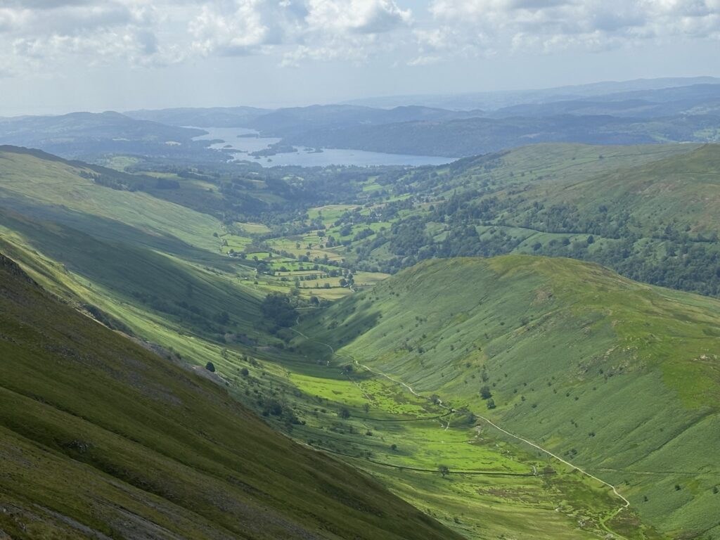
The only thing that now stood between me and home was a triple crown of summits in quick succession of each other; Froswick (720m), III Bell (imaginative name, 757m), and Yoke (A much better one, 706m). Being several hours into the hike I was now feeling the impact of 15km of walking up and down hills all day, and I needed some inspiration to keep me going. So naturally a podcast on German history was the correct choice, as there’s nothing better to hear when slogging up a hill than a very convoluted Game of Thrones style plot where every member of the royal family is fat, ginger, and named Otto. It’s good to see some representation I guess.
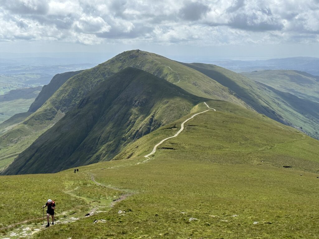
The homestretch was now in front of me, with only a rather aggressive bull between myself and the finish line. After skirting around it rather sheepishly, I headed across Buck Crag and took a left just before the small woodland that is Garburn Nook. The path here descends down Garburn Pass toward the village, and is very rocky underfoot. The most striking building in view is the 14th century Peel tower named Kentmere Hall. Peel tower’s were very common all over over both sides of the Anglo-Scottish border, and functioned rather like small fortified homesteads as protection against Border Reivers. They were a few as far south as North Yorkshire south of the Tees, but Cumbria and Northumberland are were you can find the most surviving ones. Kentmere’s location might seem remote now, but given its proximity to High Street, it must have attracted a lot of bandits looking for some easy pickings.

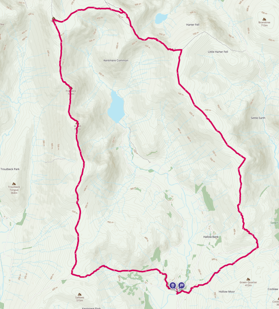
I finally reached the village again after 5 hours and 10 minutes in total, which was quicker than I expected. Burnt and dehydrated, I still managed to enjoy the picturesque views of the village, including St Cuthbert’s Church, which is an example of Tudor stone architecture. I had hiked over 20km with over 1.1km in total ascent, and was pretty pleased with myself. Kentmere is an excellent challenge for those who like their hikes remote, and want to challenge their stamina. Would highly recommend. My route can be found here.
| Aspect | Rating |
| Difficulty |     |
| Technical |   |
| Views |     |
| Nature |   |
| History |   |
Leave a Reply