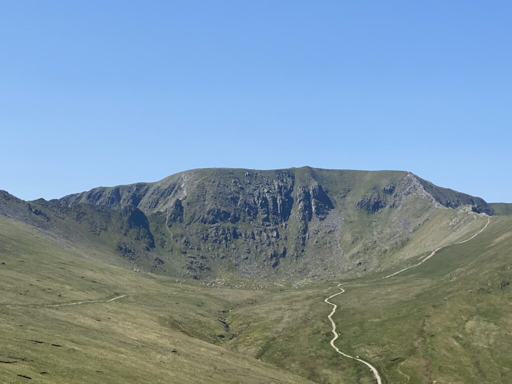
It’s easy to see why this mountain consistently ranks as the most fun one in England. Not only is it the 3rd highest peak (950m) and one that overlooks arguably the most beautiful part of the Lake District (though Buttermere is a considerable challenger to that crown), but in Striding and Swirral Edge, you have two very fun scrambles. It’s also one of the (relatively) few mountains in England to retain a non-Germanic name; in Brythonic it means Yellow Moor, named after the colour of the grass on the main peak. There’s a few different ways to do Helvellyn, but here I’ll be covering the only true way to do it via the two edges. Like Urra, I’ve done Helvellyn so many times that this is a compilation of various summer ascents.
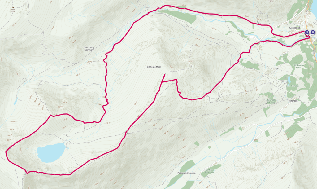
The walk starts in the popular tourist trap of Glenridding. Whilst there is plenty of parking, on hot weekends and Bank Holidays I would advise getting there early, although my personal preference is always just to avoid any popular walks on a Bank Holiday as the idea of queuing for a summit is a concept I can’t quite grasp. The path is clearly signposted, and takes you up a road past the pub, and past a couple of farms and holiday cottages. The path crosses Glenridding Beck and then splits, left and right around the bottom of the first hill.
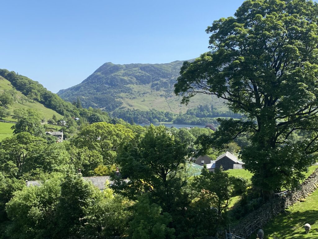
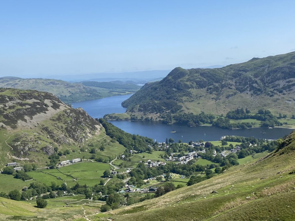
Follow the left path, which will take you up Little Cove up some very steep steps. It’s going to be an ascent of a little over 500m to get to the top of Birkhouse Moor (718m), and this is arguably the hardest bit. It can be quite the slog on a hot summer day as there’s no cover, and you’ve barely had time to warm up as it’s right at the start. Footpath erosion is very common given how popular this path is, so keep to the paths that are currently set out in order to help the land recover. The Helvellyn range has a sub-Arctic micro-climate, which is only 1 of 2 in England (the other is Crossfell which will definitely be covered here soon!), and is home to a lot of critically endangered plants that are easy to crush underfoot. Brown Cove to the north, is the last place that snow remains in England each year, and along with its southern cousin Nevermost, are relics of the last Glacial Maximum, and ecologically are more akin to the northern Highlands or Norway than they are to their neighbouring dales.
The view east is one of my favourites in all of the UK. On summer days, the sapphire blue colour of Ullswater shines brilliantly against the forested fells of Martindale, and it’s easy to see why this was Wordsworth’s favourite place on Earth. On clear days the Pennines are easily visible too, with the distinctive shape of Crossfell dominating the skyline. On murkier days, the fells surrounding the Helvellyn Range give the whole area a dark and foreboding feel. More often than not the soundtrack of a fightet jet will accompany this climb, as Ullswater is a favourite place for the RAF to wargame 1-on-1 combat between the mountain peaks. Once at the top of Birmkhouse Moor, it’s only a 1km or so along the ridge to Hole-in-the-Wall, and the start of the best part of the hike. Seeing the humped shape of Striding Edge in the distance always gets me excited in a way that you often haven’t experienced since childhood!
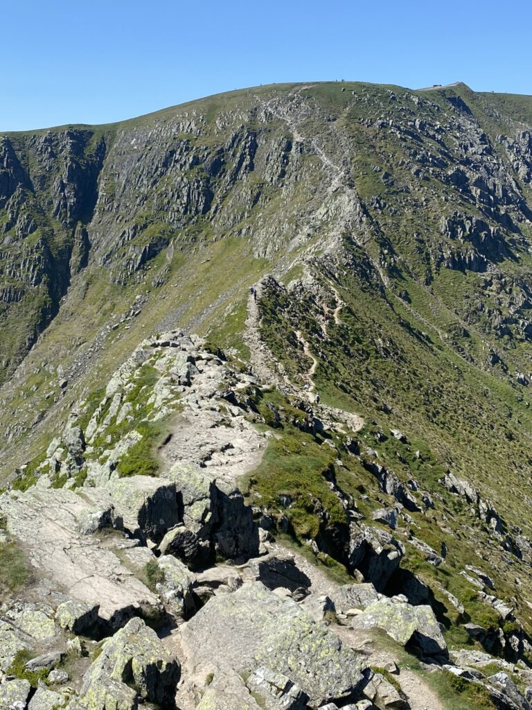
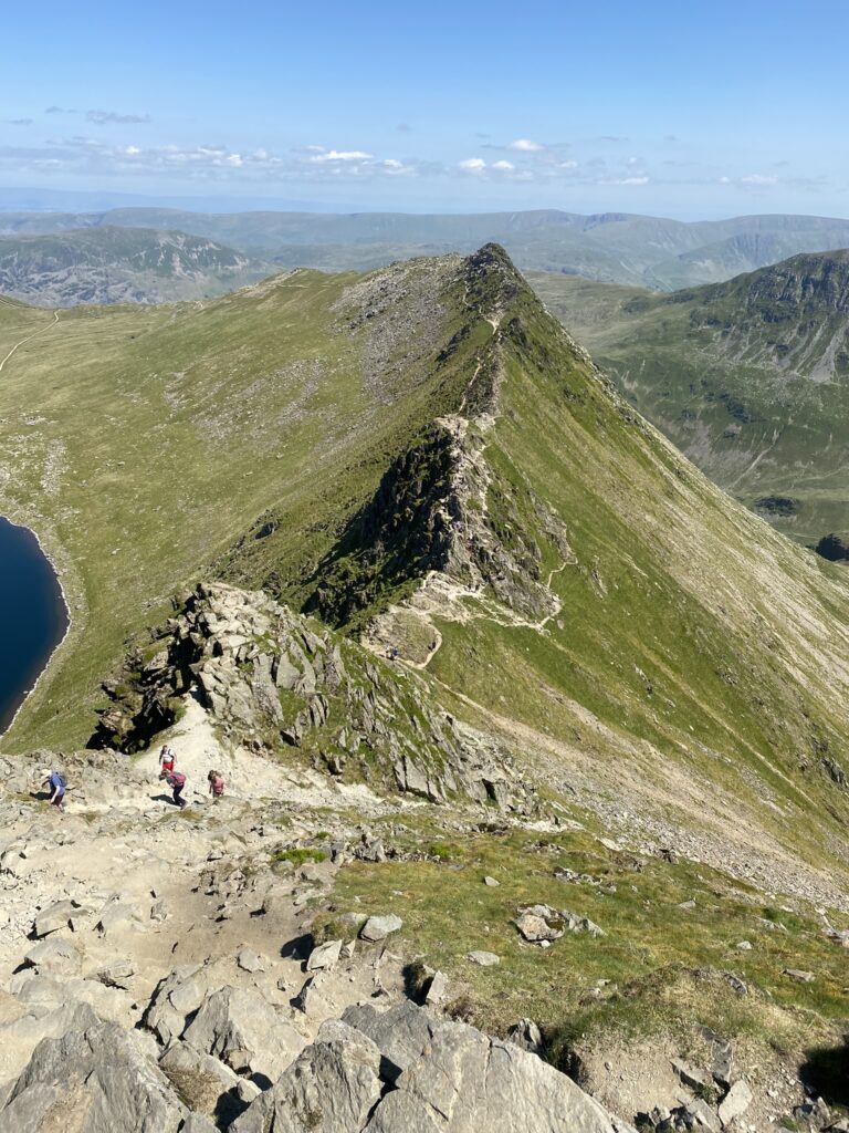
Striding Edge is the reason why so many people come here, and I’m repeating myself over and over because it’s also my favourite part of a Lakeland hike. The larger edge, which includes Bleaberry Crag and the High and Low Spying Hows (great name) is about 1.8km, and will see you ascend 280m or so. There’s many ways to traverse this edge, including a path along the north side below the rocks, which is relatively easy and smooth going. For those who are more adventurous, there’s plenty of ways to climb over the boulders and cliff edges. I’ve found personally that the north side is quicker, with the south often requiring more full body drops or leaps across gaps. There’s nothing here that requires any climbing gear, but it is dangerous and falls are a real danger, with a lot of accidents occurring when wet. As if to illustrate that point, about halfway through the Edge, there’s a monument to Charles Gough, an unknown painter who in 1805 attempted Helvellyn in bad weather without any guide, and subsequently fell to his death whilst attempting to cross Striding Edge. To the shock of Regency society, his dog had eaten his body over the course of the 3 months he lay unfound.
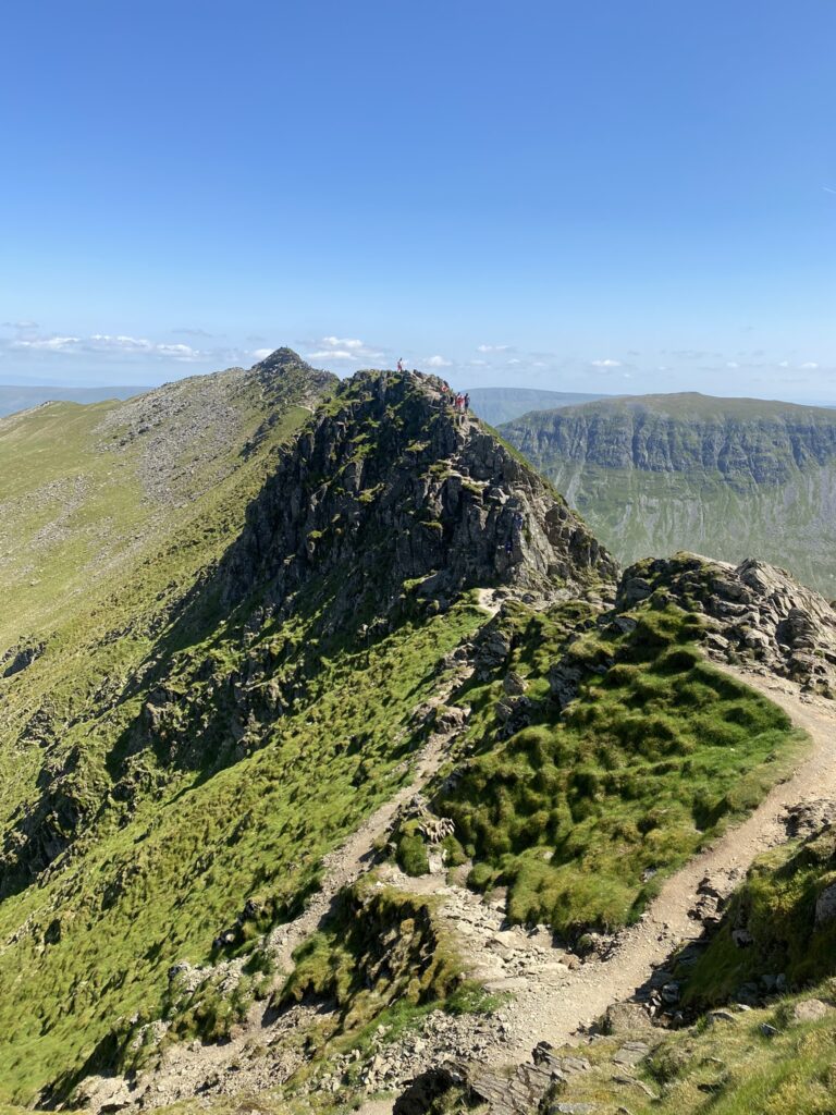
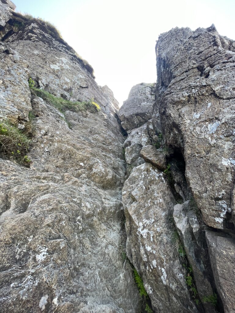
Ominous memorials aside, the views from Striding Edge are fantastic, with sweeping sights across Red Tarn to the north, and Nethermost Cove to the south. I camped not far south at Hard Tarn on my first Lakes camp, and it definitely lives up to its name when it comes to getting up there! As you progress there’s plenty of different ways down the pillars of rock, and it can be fun to try out different sections each time you come. Eventually however, you arrive at the narrowest bit with the steep rock face above you, which has the appropriate name of “The Abyss”. Here you will definitely need to do some scrambling, and depending on which way you go, some climbing too. But again, nothing here is too technical and as long as you take your time and look carefully there shouldn’t be any major issues.
By the time I’m at the peak I’m still so pumped from the scrambling that I barely even pay attention to the summit. But there’s still a fair bit of a walk to the actual summit itself, and the Helvellyn plateau is certainly one of the largest I can recall in the Lakes, much larger than Scafell. The plataeu itself was home to the first landing of an areoplane on an English mountain, when a 2 seater biplane landed on the summit, had a (no doubt surprised) hiker sign a document saying he had witnessed the feat, and then took off again. Quicker than going up the ridges that’s for sure! The top offers some splendid views east toward the Pennines over Ullswater, and to the west, to what looks like an endless sea of mountain peaks as you look out across the rest of the Cumbrian mountains. It’s truly one of the best places to stand in all of England.
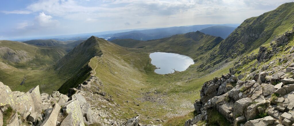
Swirral Edge just doesn’t have the same wow factor as it’s more southernly brother, and for this reason most people choose it to descend down rather than ascend. It’s less of a scramble, but again in wet weather it can be lethal. There’s dramatic views of the whole basin, with Catseye Cam dramatically standing tall right in front of you. The distance is a lot less than Striding Edge, and after half a km or so it becomes a much more manageable, albeit steep, track down toward Red Tarn’s shoreline.
From here on out it’s a rather standard jaunt as you cover around 5km and descend the remaining 500m needed to get back to Glenridding. The landscape is heavily scarred from slate mining and timber extraction, but some reforestry efforts are underway. You’ll largely follow Glenridding beck most of the way down, so it’s hard to get lost. Of note on the way down is the large mine on the northern side of the beck. Once a standard slate mine, it nearly became a site of a nuclear bomb test! NATO planned to detonate a nuclear bomb deep underneath the mountains in order to try and detect the explosion from sites on the east coast of the US and Canada, and in Germany and Italy. The idea being that it would allow the West to confirm that we could detect an underground detonation by the USSR. Thankfully for the local residents and wildlife, they didn’t go through with the plan!
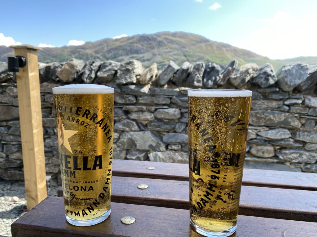
Following the track down will leads straight past the Travellers Rest pub, which is definitely an appropriate place to get a pint and inspect the sunburn in my case. All in all this walk is a little shy of 13km, and has a total ascent and descent of about 930m, meaning it packs a punch. Having one, but two artete edges cements Helvellyn as one of the best walks in England.
| Aspect | Rating |
| Difficulty |      |
| Technical |     |
| Views |      |
| Nature |  |
| History |   |
Leave a Reply