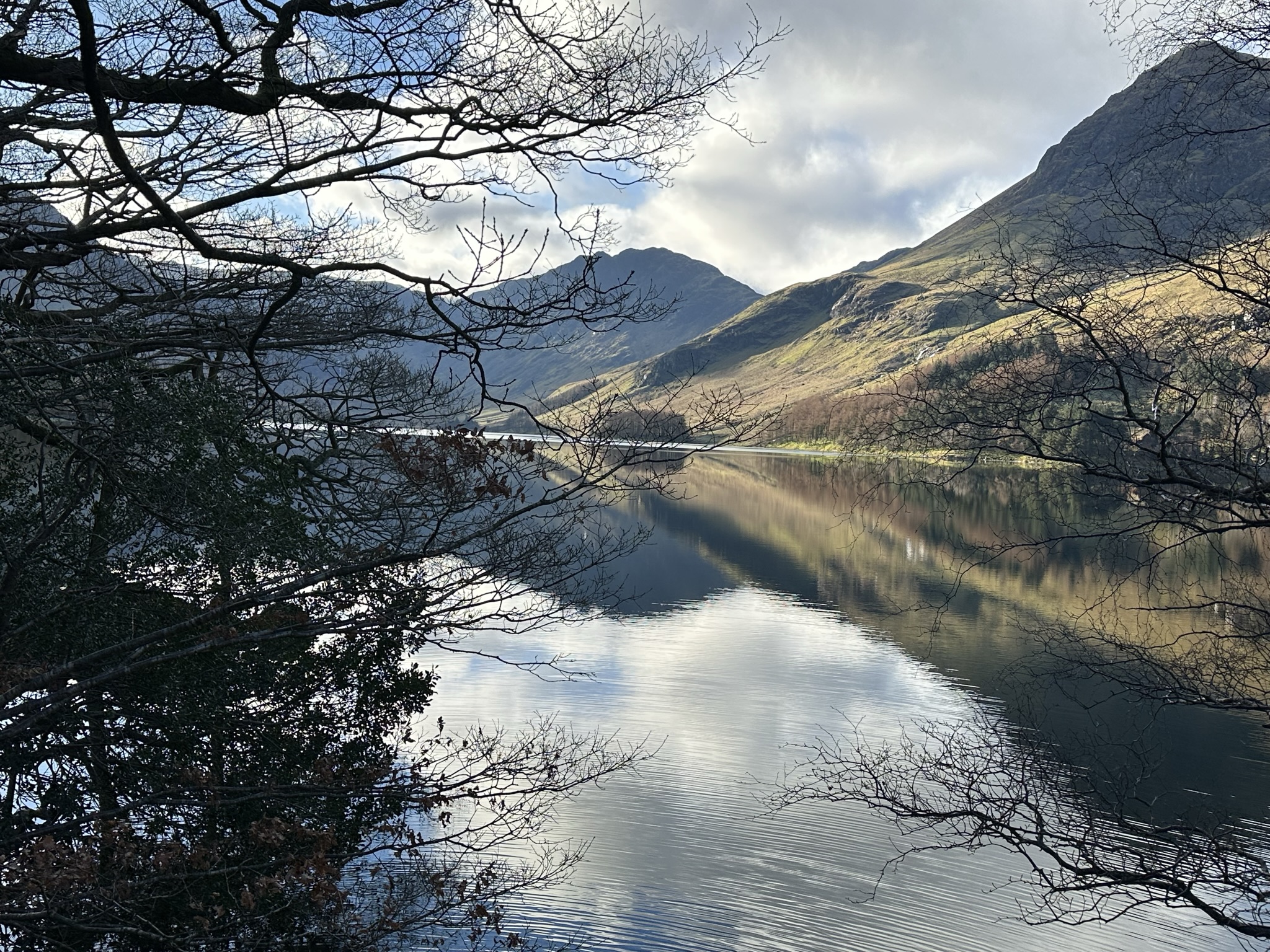
It’s been a very long time since my last update. Too long. The nagging guilt I had over neglecting it finally beat my laziness. I had intended to do a short update explaining why I’ve been away for so long, and covering a more local walk, but last weekend I managed to get out to Cumbria for the first time in a while, so I’ll jump straight in with an update about that whilst it’s still fresh in my mind.
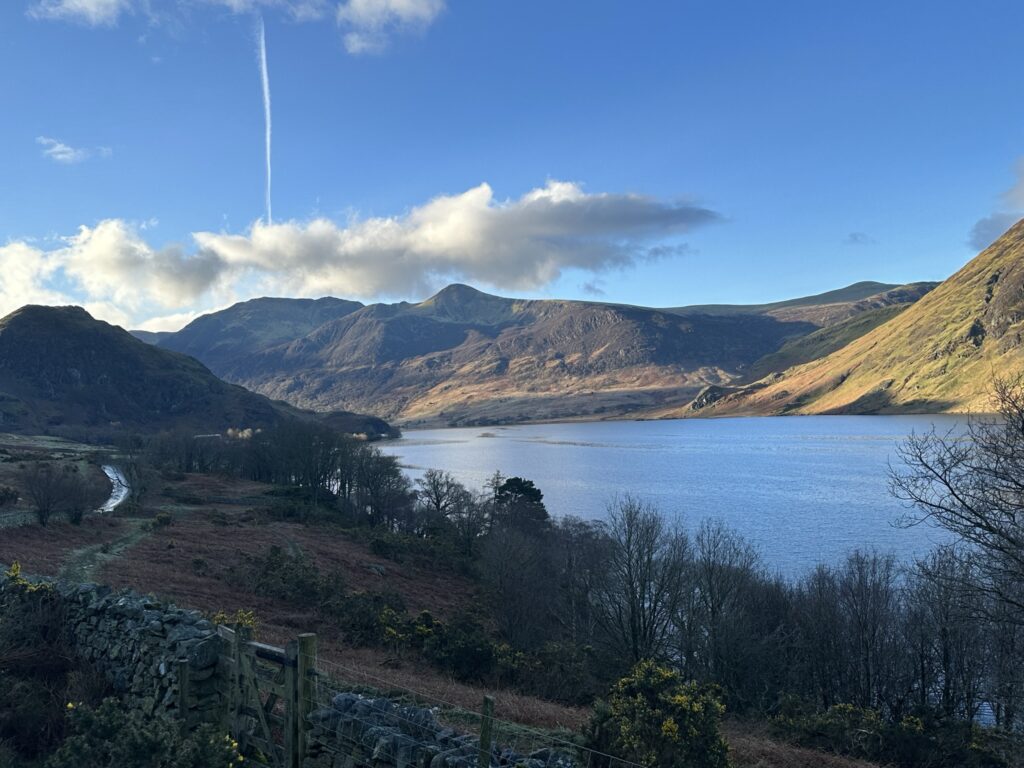
The weather promised to be cloudy and dull, but fortunately for me it was anything but. I tend to stick to the eastern half of the Lakes on times I’m only there for the day, as it’s much quicker to get there and back in a reasonable timeframe, and so it had been a while since I was in this area of the world. Last time I was here, I’d not even done Buttermere, but camped around Crummock Water, late one summer. This time I parked in Buttermere itself. A word of warning; the National Trust carpark is a relic from a bygone age in that it only takes coins! No contactless and no way to pay via card or app (although I always moan about the latter anyway…). Luckily a very generous man behind me had a spare National Trust membership card and saved me paying a fine!
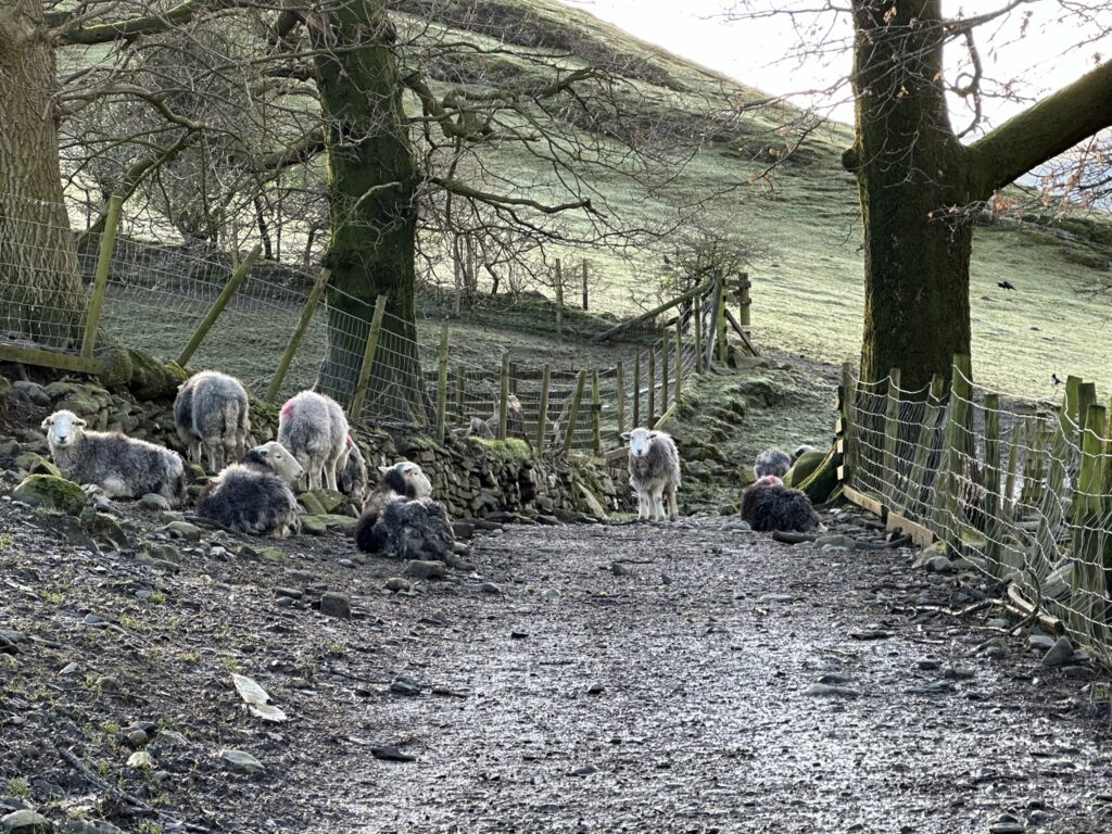
I set off down the northern flank of Buttermere, through the small woods of Pike Rigg and Dalegarth. I managed to catch a glimpse of a Treecreeper, something I’d never actually seen before! The last few days had been fairly wintry in the Lakes, and so the various becks that fall from High Snockrigg were very full, and provided a lovely soundtrack to the walk. By this time it was around 8:30, and I still hadn’t encountered anyone else on the walk. The only sounds were the birds and the water, it was so quiet in fact that the waterfalls of Comb Beck across the lake were the loudest thing I could here.
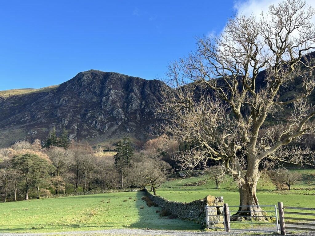
As I neared the far eastern lake shore, I could see that both High Crag and Hay Stacks were wreathed in fog. I had actually intended to summit both those fells and then return via Warnscale Bottom (the names in this part of the Lakes are almost a parody of the English countryside), but with the weather so good down here I decided to instead do a full loop of both lakes. I’ve done the Ullswater loop previously and loved it, and the actual lakes of the Lake District tend to get overlooked in favour of the mountains, so now seemed the perfect time to rectify that. Peggy’s Bridge provided a splendid vantage point from which to get some amazing shots of Fleetwith Pike looking very dramatic in the spring sun. Wainwright described Warnscale Bottom as a “natural ampitheatre of impressive proportions” and its not hard to see why. I’ll definitely have to come back in the summer to do those fells, and get along to Red Pike and High Stile, as they’re well recommended, and I’ve spent many an evening looking up at them whilst camped on the other side in Ennerdale.
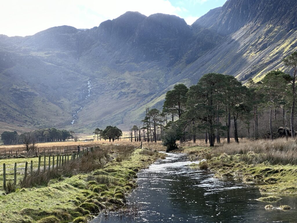
The path along the southern side of the lake was much more rugged, and by now a small trickle of people had started to appear, either looping the lake or heading up the sides of the mountains. This section of the walk is particularly nice for those who much prefer to see trees than bleak moorside, which definitely includes myself! There’s far more shade on this loop than at Ullswater, as I found out to my detriment a few summers ago! Buttermere’s outflow is Buttermere Dubs, a very short stream that leads into Crummock Water. It might be short but the strong current more than made up for it, and it looked like it would be so much fun to ride the waves on a kayak through it! Dubs, by the way, is an old and relatively obscure word for a body of water. On a map it usually refers to a stream, but I’ve also seen it be used to refer to a pool on rare occasions. It’s rare in Cumbria, and even rarer in Yorkshire, with beck being the usual term in both counties (or gill if it’s located in upland/is practically a waterfall).
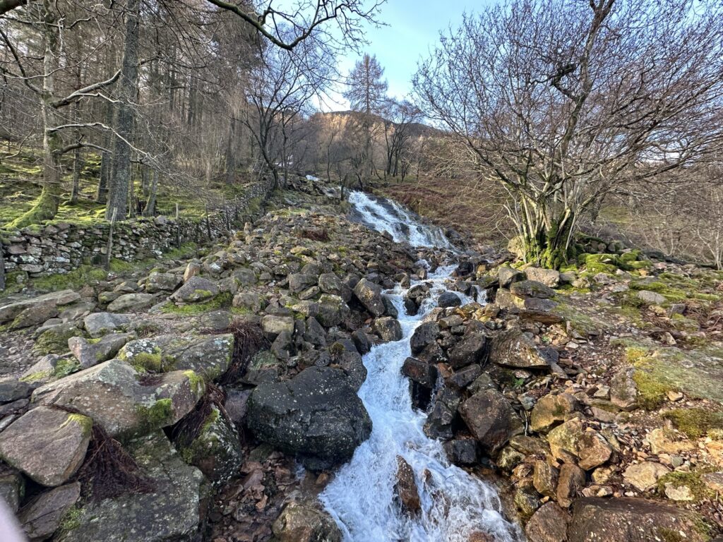
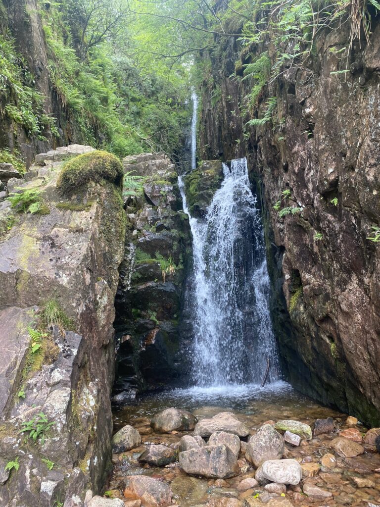
The next area of land, known as Scales, is exceptionally boggy. Which I found out after I stood on what appeared to be solid ground, only to end up submerged in thick mud up to my thighs. I suppose it’s not truly a hike in Britain unless you end up absolutely covered in mud! The path branches off toward the south west which leads up to Scale Force, widely regarded as the highest waterfall in the Lake District, at around 51m. It’s definitely worth a visit, and I have been there before in the height of summer when the area is at its greenest and most vibrant. It’s not as beautiful as Aira Force, but is still impressive, and there’s far less crowds.
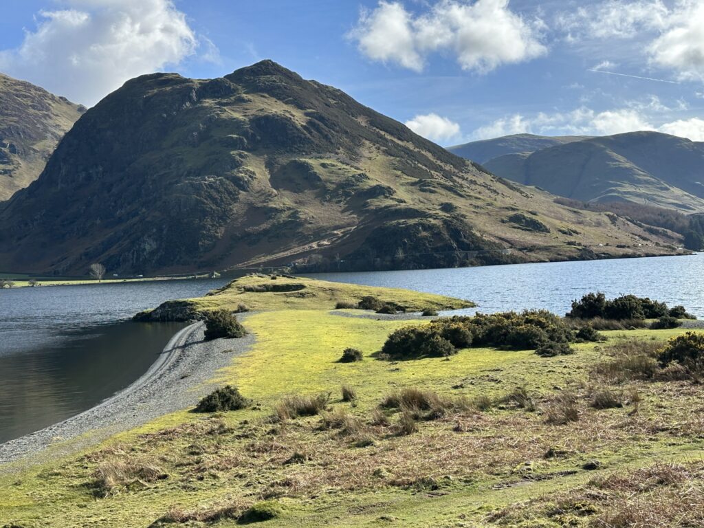
The most striking feature about this section of the walk is Mellbreak, the fell that follows Crummock’s western shore almost the entire length. Wainwright noted that only the screes of Wast Water have a greater affinity with their accompanying lake than Mellbreak does with Crummock. It might only be small (512m), but the fell is so close to the lake, and has a unique double summit, that it forms the perfect backdrop to fantastic pictures. My eyes were more drawn to Low Ling Crag however, a peninsula that juts into the lake and has a rocky and raised section at the head. Sitting on there and having something to eat, I couldn’t help but imagine that this would make a great place to fortify as protection against any would be raiders!
The remainder of the lake shore isn’t too exciting, and has large lengths where the only real way to traverse the path in wet months is to walk along the concrete bund put in place to manage the lake as part of its role as a reservoir. With a fair few people coming up and down by this point, at some bits it involved a fair bit of balancing and hoping nobody fell in! The recent snow melt and rains did mean the area was full of the first of the years insects, and a lot of amphibians which made what otherwise would be a fairly dull section of the walk that much brighter. I also did my good deed for the day when rescuing an exhausted frog that couldn’t find a way out over the concrete lakeside (and keeping ahold of him as dogs passed by!) The view across the Grassmoor was also enjoyable, and would look even better once all the trees across the lake have their leaves later in the year.
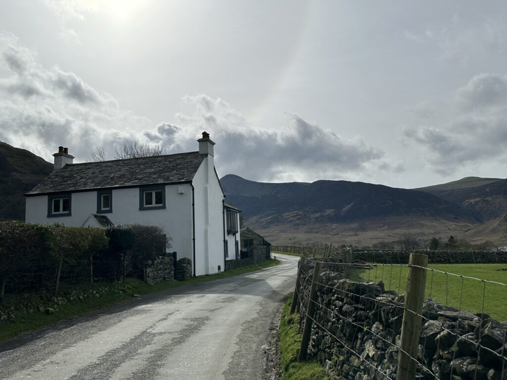
Crossing over the Cocker (which is where Cockermouth gets its unusual name from), the path bends around to the eastern shore through Lanthwaite Wood. The path weaves in and out of a mixture of conifer and deciduous trees, and the ground was carpeted with the bright green leaves of bluebell plants, clearly just waiting to sprout. From there it was a 3km treck on the road, trying to avoid traffic around the very narrow Hause Point. I left the road to do the last km or so through the woods on Long How, by now complaining that the walk had decided to throw in one more climb right at the end (it was a mere 60m ascent, clearly I was being whiny), before I emerged back in the National Trust car park, where I looked a bit odd pacing up and down for another 200m to finally end on exactly 18km.
This area of the Lakes is widely regarded as one of the best, and Buttermere especially is seen as perhaps the most beautiful part of England. I’m still personally torn between it and Ullswater over who wins that prestigious title, but I can definitely highly recommend this loop, as something that is relatively easy if you’re comfortable with a few hours of continuous walking, and aren’t really a lover of scrambling up rocky faces.
In total this hike was 18km exactly, and I ascended 295m. You can find the route here, and a map is below.

| Aspect | Rating |
| Difficulty |   |
| Technical |  |
| Views |     |
| Nature |      |
| History |  |
Leave a Reply